LAHORE: Pakistan’s newly launched remote sensing satellite has successfully reached its orbit and commenced operations, officials at the Space and Upper Atmosphere Research Commission (Suparco).
The satellite was launched from China’s Xichang Satellite Launch Centre on July 31 and has since established stable communication with ground control stations. The advanced imaging capabilities of the satellite will transform urban planning and infrastructure development by enabling accurate monitoring of urban expansion and developmental trends.
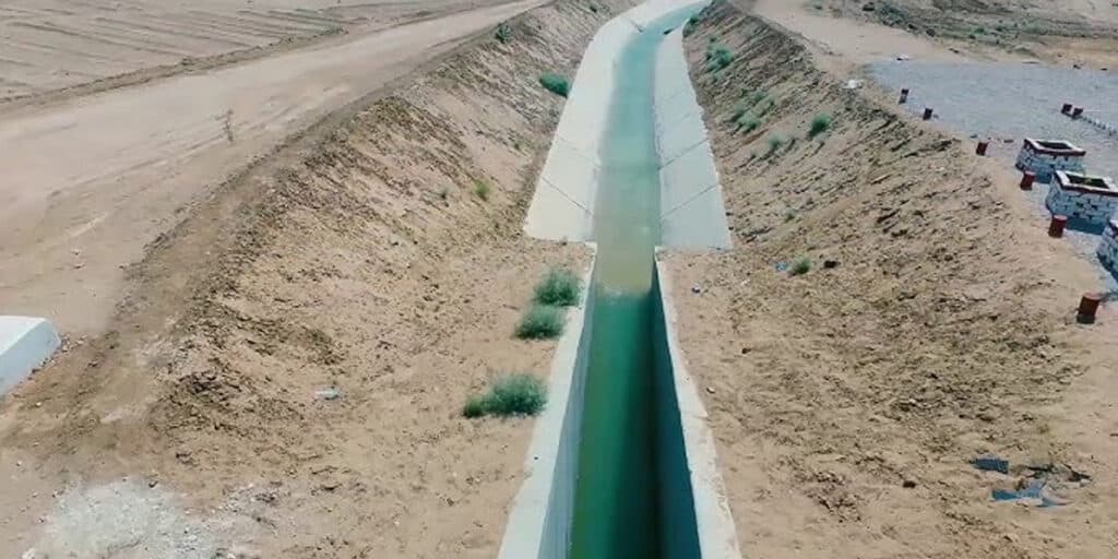
The satellite would contribute significantly to environmental protection through monitoring of glaciers, deforestation, and other ecological changes. In addition, the data is expected to enhance agricultural productivity by assisting in crop monitoring and resource management.
The satellite will further support national development projects, including those under the China-Pakistan Economic Corridor (CPEC).
Also Read: Pakistan confirms successful deployment of remote sensing satellite
Meanwhile, its applications will cover mapping of transportation networks, identification of geological hazards, and optimal utilization of natural resources.