ISLAMABAD: The Pakistan Space and Upper Atmosphere Research Commission (SUPARCO) has confirmed the successful deployment and operational readiness of the country’s latest Remote Sensing Satellite, launched on July 31 from the Xichang Satellite Launch Center (XSLC) in China.
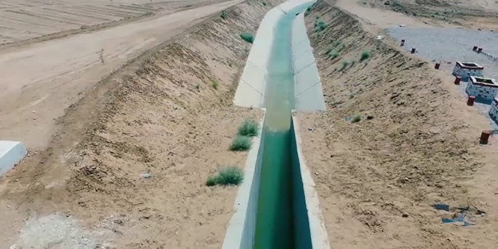
In thai regard, the satellite has established stable communication with ground stations and has begun transmitting high-resolution imagery. So far, the satellite’s imaging capabilities are expected to elevate several fields, including urban planning, infrastructure development, and regional planning.
In this sense, one of the key areas of application will be disaster management. The satellite will support early warnings and swift response to natural hazards such as floods, earthquakes, and landslides.
Furthermore, the SUPARCO mentioned that the new satellite will play a crucial role in strengthening Pakistan’s agricultural sector. In addition, the satellite is expected to provide strategic support to major national development projects, particularly the China–Pakistan Economic Corridor (CPEC).
Also Read: The Shocking story of Adila Baloch and Pakistan’s operation
The accomplishment is viewed as an important step toward empowering Pakistan’s autonomy in data collection and analysis, and also opening new opportunities for sustainability, innovation, and informed policy-making.